
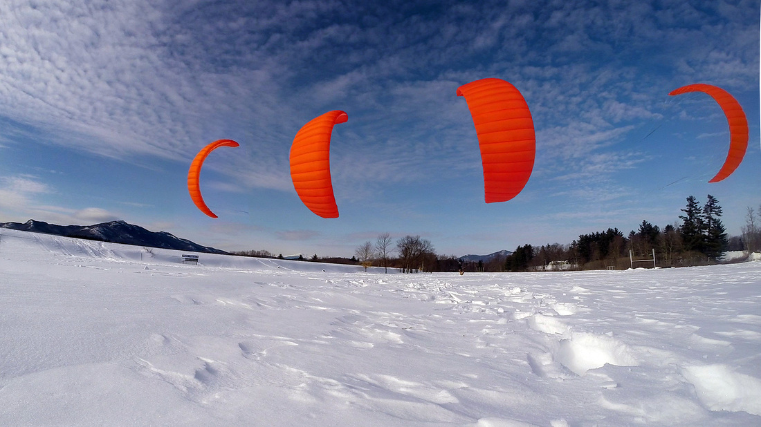
 Well we still have a lot of powder. But after the Sunday/Monday winds event much of the powder has been reduced from 2-3' down to 1.5-2' with a variable wind slab layer on top. This poses some really difficult riding if you don't have a wide ski but also if you do. In the event that you're tips go under the wind slab you will be essentially "locked" into the snow. The same ski width that kept you from going under is now working to keep your skis from surfacing as you try to pull them back up.
In ideal wind conditions an experienced skier can get by and make it work with a resulting good session. However Sunday and Monday were NOT IDEAL WINDS and in fact were the worst possible winds to be combined with the surfaces we have now. Sunday we were out and the winds were gusting 8kt to 30kts. Which on a surface that you can dive a tip under and get trapped things can be treacherous. Monday's conditions were no better and in fact even some of the best riders in the region decided Monday's conditions were too dangerous to go out in. We will be scouting areas over the next couple days to determine where the best/least grabby surfaces are. The best bets are in the lees of areas that were hit over the weekend. If you are going out we strongly recommend a ski with no less that 97mm under foot and be sure to make flat turns to avoid ski hook. Be safe.
0 Comments
Leave a Reply. |
Archives
December 2018
WARNING. No ice is ever 100% safe. We offer condition reports as a service to our students and clients who are familiar with the area and as a source of general condition information to others. These reports are not intended to replace common sense or up to the minute first hand knowledge of a given area. Nor is it a substitute for common sense. When in doubt don't go out.
Categories |
 RSS Feed